Posted by CarDuka
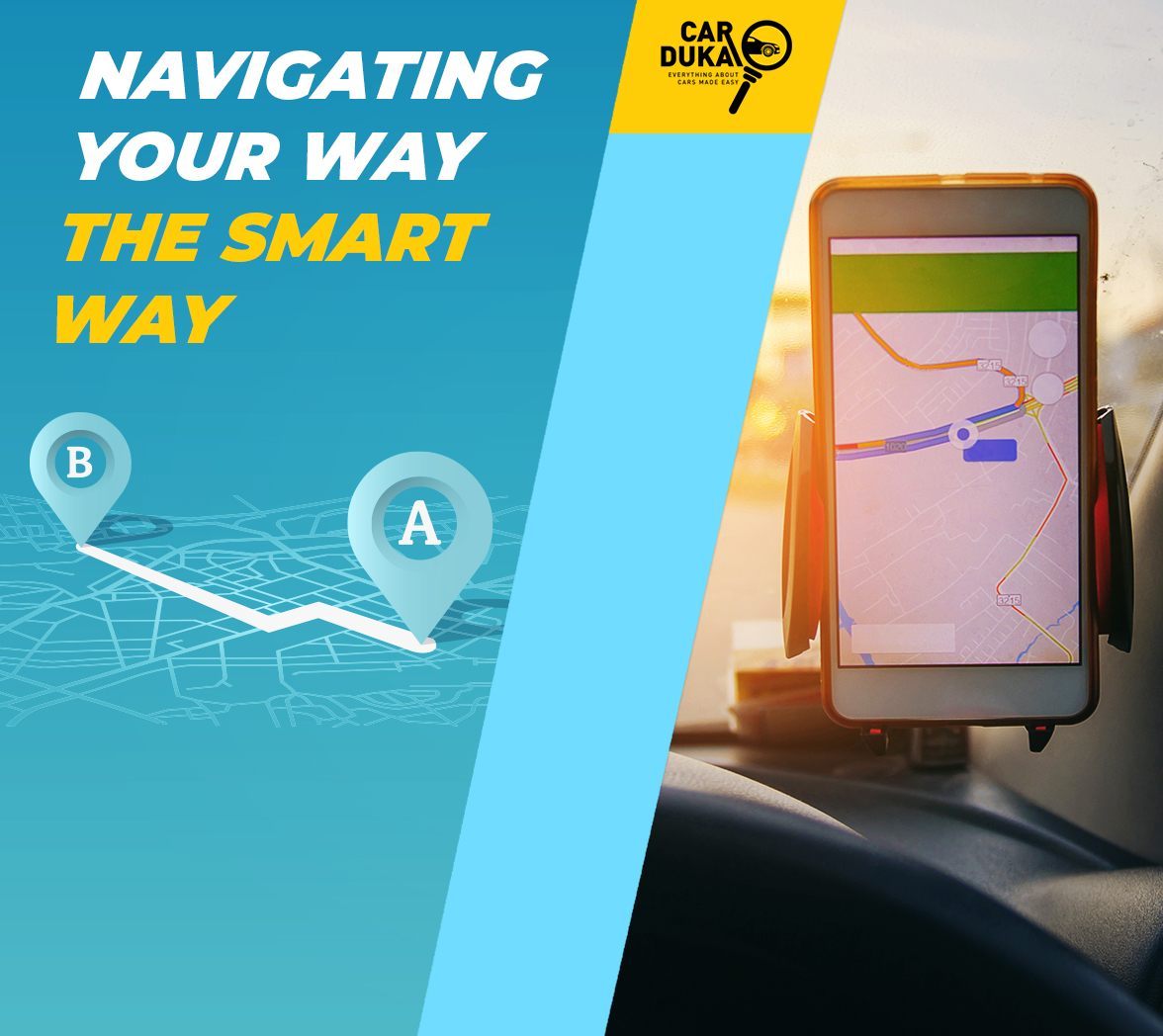
3 Ways To Navigate Your Way The Smart Way
In this digital age, technology is slowly redefining how we operate. Advancement of technology continues to significantly improve our everyday lives, one very popular example being the mobile phone that has become an integral mode of everyday communication we can hardly imagine being without.Other than making those important calls or sending messages, did you know that you can make use of some innovative features and applications on this same gadget and easily turn it into a navigation tool? Yes that’s right! You can conveniently use your smartphone to get directions and information on traffic updates, ensuring that you find the fastest routes to your destination.
Unlike traffic updates on the radio which are in most cases too general and more often than not irrelevant or unreliable, you can use a mobile app on your smartphone to pick and choose your preferred travel route(s) and customize your traffic information with more accuracy. With these easy to use apps you will never need to drive around aimlessly or ask for directions from strangers in-case you’re travelling to unfamiliar destinations because all you have to do is identify the area on the map, set a pin and be on your way!
The downside of using your mobile phone as a navigation tool is; it drains your phone battery since you will need to turn on the GPS however, you can easily fix this by ensuring that you always have an extra charger in the car. The fact that you will also need to use your phone while driving can be very distractive and increases the risk of a traffic accident. Additionally some navigation apps will automatically turn off your notifications and cancel your incoming calls and texts. You might also need to have reliable internet connection on your phone throughout your journey which might prove hard especially if you are travelling in some remote areas of the country.
That said, having navigation apps can greatly assist you maneuver your way from one place to another irrespective of how well you’re acquainted with an area, beating traffic and help you get to your destination on time. You should therefore consider downloading these apps and turn your phone into a driving assistant. Let us have a look at some of the most common navigation apps available on android or apple stores that you can download to help you conveniently find your way fast and easy.
WAZE
Waze is the world’s largest crowd sourcing navigation app that uses data from its community of users to provide quicker and alternative navigation routes on a map. Though not widely used in Kenya, the app is slowly gaining popularity due some of the cool and innovative features it offers such us; a voice navigation feature, the ability to auto update routes meaning that it can identify changes in your normal route and offer you less congested alternative routes to use, a carpooling feature that allows users to share rides and its speedometer feature that reminds you of your actual speed (You can therefore set an alert sound in case you drive over the limit).
MA3ROUTE
This is a locally developed crowd sourcing navigation app that provides information on traffic, matatu directions and driving reports obtained from motorist and other road users. The platform relies on its users from around the country for information about transport and current traffic conditions which is then conveyed to other users via the mobile App, web and SMS. The platform mostly sources information in real time from its community of over 1 Million twitter followers situated around the country making it potentially the most reliable source for updates on accidents or incidents on the road.
GOOGLE MAPS
The app is available on all android devices and downloadable for iPhone users as well. It is by far the most widely used navigation app both globally and in the country largely because it provides a more precise and in-depth description of geographical locations, for instance through Google’s ‘Street View’ a vast majority of areas in large towns and rural centers around the country are well documented right to the street level, allowing users to view locations in 3D and from a drivers perspective. The app also has a host of features that one can make use of such us automatic rerouting, suggestions on local sites and amenities to visit such us hotels and restaurants, a voice navigation feature, navigating in real time, transit information (for example matatu routes & schedules) and traffic alerts that provide users with contextual info about traffic conditions in real time.
Comments
There are no comments yet.